TWAS A RECORD DAY BEFORE CHRISTMAS...
- rebeccakopelman
- Dec 25, 2023
- 1 min read
The fog once again lingered on the eve of Christmas. But with a delay in the rain, temperatures climbed impressively into the 50s on Sunday!
Cedar Rapids tied the record of 58° set in 1893
Waterloo broke their record by hitting 57°, the previous record was 55° in 1982
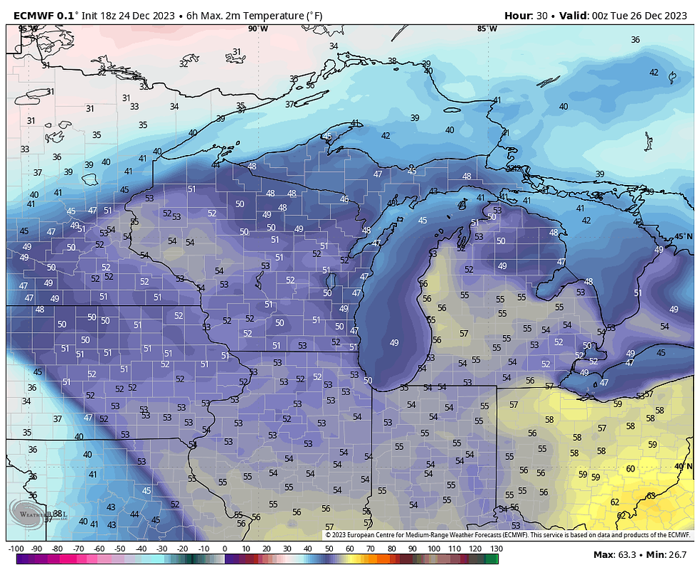
Now rain will take over and continue through the day Monday. Widespread rain and areas of fog will create quite the gloomy day.

Temperatures will still manage to climb into the 50s!

While this will remain shy of records, 2023 will end up in the top five warmest Christmases on record.
Rain will start to wind down into Tuesday morning and temperatures will cool down. There's a possibility of a wintry mix or some flurries that may be around on Tuesday:

Temperatures on Tuesday will be much cooler, but still technically above normal:

Temperatures will remain in the upper 30s/low 40s for the rest of the week and the weather will be quiet. There are signs of some cooler air arriving by the new year:

We'll see what 2024 will hold. For now, enjoy a rainy and mild Christmas. Merry Christmas from all of us here at TSwails!
--Rebecca Kopelman


Comments