THE WINTER SOLSTICE...
- rebeccakopelman
- Dec 22, 2024
- 2 min read
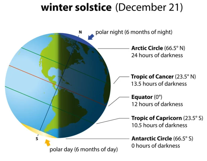
Winter "officially" began on Saturday with the solstice. What this did mark was the shortest day of the year and from this point forward we'll start to gain daylight.

There will be small changes at first, but eventually the sunset will happen later and later.
Still, we have a lot of winter to get through, but we're getting a little break from the deep freeze. Temperatures on Saturday were below normal and below freezing:

Sunday will be warmer with temperatures above freezing in the afternoon with some sunshine... and it should feel pretty nice!

Clouds will build in late Sunday as a cold front approaches into Monday morning. Temperatures will be near or slightly above freezing by Monday morning as the front moves through:

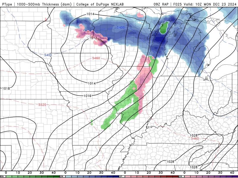
There could be some freezing drizzle or light snow/flurries as the front passes in the early morning hours of Monday:

There is uncertainty on how much of this occurs near and west of the Mississippi, but any untreated roads/sidewalks could become slick. The good news is temperatures climb right back up Monday afternoon:

The sun will come out and temperatures will be mild, with the exception of northeast Iowa where snow is still coating the ground. Behind the front, temperatures only drop slightly but stay above freezing and above normal:

Christmas Day will be cloudy but quite mild still:

Above normal temperatures persist through the week, which bodes well for holiday travelers... but not for those hoping for a white Christmas. And while we're getting a break from the bitter chill for now, there are signs of colder conditions arriving in the new year.

We'll see what the winter has in store for us in 2025...
Rebecca Kopelman


Comentarios