


THE OTHER SHOE DROPS...
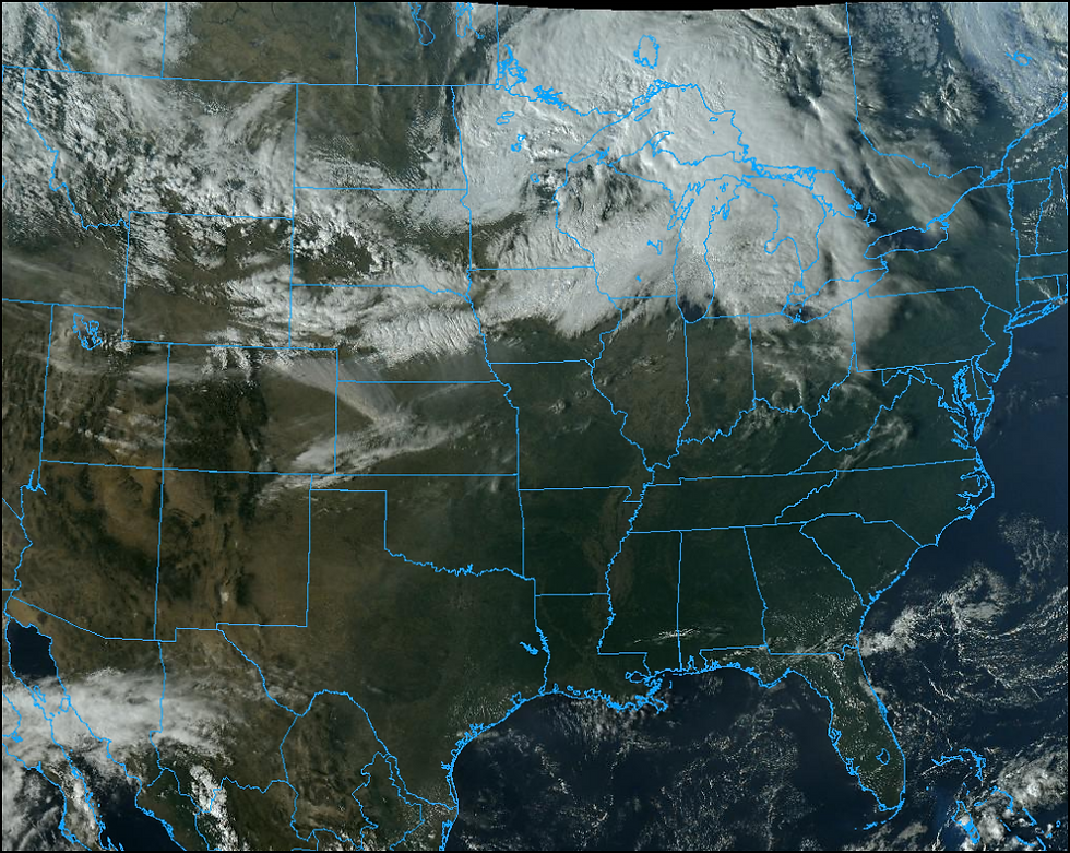
We got by with another fine day Wednesday but the shoe is already dropping and that means cooler days are here again. On the GOES 16 satellite imagery Wednesday night you can see the arc of clouds associated with the push of today's cold air.
Behind the front temperatures were definitely colder Wednesday up north as you can see in the 24 change chart.

The cool air will come on brisk NW winds Thursday. They are shown here Wednesday and they will be ours Thursday.

Most of the area looks to be 22-24 degrees colder today than what we enjoyed Wednesday afternoon. Below are the 24 hour temperature change shown on the GFS.

Here are the mid-afternoon temperature projections on the GFS.

Friday's highs look about the same as Thursday and then a stronger front is slated to arrive the second half of the weekend. That front could bring some brief light showers Saturday night. Before temperatures crash Sunday we'll pop back into the 60s for a nice day Saturday. That clearly will be the best day of the weekend so make you outdoor plans then.
Monday and beyond the forecast gets active and far more challenging as models come to grips with the depth of the cold air that arrives Sunday. That will determine how cold we are and the type of precipitation that falls with the next disturbance Monday. You may recall that yesterday the GFS had most of my area in 3-5" of snow. My reaction to that was "not likely" and my preference for the white stuff was further north in Minnesota and Wisconsin. Today the GFS is trending that way with a snow forecast that looks like this. Personally, I think it will end up even a bit further north.

I like the EURO's idea with a snowfall depiction that looks like this.

My take-away in all this is that snow chances in my area are low and limited to what could be a snow flurry or brief snow shower with no accumulation. The prospects of that now seems small.
One thing that has shown up is the prospects of an active storm track much of next week and that could bring some decent precipitation totals in the 7-15 day period. The EURO is very wet over the central Midwest showing this the next 10 days.

The GFS has a similar look to the EURO.

Anyway you slice it, it's back to the coat for now as a chill returns for both Thursday and Friday. At least you don't have to shovel it. Roll weather...TS


Comments