


A FORK IN THE ROAD...
- terryswails1
- Dec 13, 2023
- 5 min read
I spend an inordinate amount of time looking at weather charts. I don't know where my fascination with meteorology comes from, there is no history of it in my family. But rest assured, the mystery of understanding the inner workings of the atmosphere highly entertains me. The first and last thing I do every day (outside of saying my prayers at night), is look at weather models.
You see, every day I'm putting together a puzzle that's never completely finished. The weather is a circle without a beginning or an end. The weather changes, but it's all inter-related. As dominoes fall, new ones go up. I'm a freak when it comes to grasping the big picture. Many times I see it when I focus on a small region such as the Midwest, but as I toggle out, there are huge gaps where multiple parts of the puzzle are missing. Usually I find suitors, other times I have to wait for a corner piece or an edge to build on. It can take days to find a foundational fit. Even when I find the solution, the look is often different from the original visualization. The dimension of time is vast, ranging from an hour to literally weeks. I'm going in and out of worm holes and portals daily.
Forecasting is a world unto itself, you just move from one level to the next, taking what the weather gives you. It can be maddening, but more than anything, it's addicting. For me, it's a competition of epic proportions. It's what I do. I thank all of you who have allowed me to share this passion with you.
A FORK IN THE ROAD
As far as this winter is concerned, I think the next 2 weeks will be pivotal as to what this winter will or will not be like in terms of severity. I've made no bones about the fact the next 10–14 days are going to remain mild. Here's the 500mb pattern for North America, December 22nd. The red shading represents height anomalies that are above normal over the United States and most of Canada. They are synonymous with above normal temperatures.

Look at the temperature departures across central Canada, the EURO depicts December 22nd. Readings are 25–35 degrees above normal. Somewhere SW of Hudson Bay, a max departure of 45.2 degrees is indicated. My gosh, that is insane. Really, that's off the charts warm...and widespread.

With the high heights also comes a dry pattern. These are the forecast precipitation departures out to December 22nd.

Here's a closer perspective.

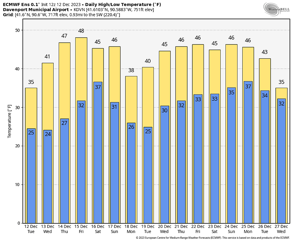
Aside from a chance of some showers December 16th, it's pretty safe to say the next 10 days will be generally dry and mild by December standards. The warmth should go past Christmas, as you can see in the meteograms of the EURO and GFS.
The EURO
The GFS

The fact it's mild around Christmas is not even a surprise, considering we are in El Niño territory. Below are the Christmas day temperature anomalies for years when El Niños were present. There's a very clear trend for warmth across the eastern half of the nation.

THE FORK...
Back to the fork in the road. This El Niño continues to evolve. It started out with a traditional eastern based look, with its warmest waters just off the coast of South America and the equator in early September.

Notice now, the bright reds and oranges have faded in that area as the water has cooled.

The 3-month sea surface temperature change clearly shows the cooling in the eastern Pacific. Further west, warming has occurred in region 3.4 of the central Pacific. That constitutes what is known as a migrating Modoki El Niño.

Position does matter, as Modoki El Niños do not typically have the winter blow torch effects of the standard east based El Niño. Notice the difference between the two in the bottom panels. The Modoki on the bottom right is much colder than the tradition El Niño on the left.

If this winter is going to produce a colder outcome, the flip usually happens around the first of the year, which is rapidly approaching. The one thing I wonder about is the fact that globally, sea surface temperatures are so warm compared to climatology. Will that have an impact on teleconnections such as the Modoki effect and the Madden Julien Oscillation (MJO)?
One thing is apparent, and that is the fact guidance continues to show the MJO (now in mild phases) rotating towards the western hemisphere in late December. It gains amplitude as it cycles into the colder phases of 8 and 1 in January.

The phase 8 and 1 temperature analogs for January look like this.

This usually signals a positive PNA with a long wave trough delivering colder air to the eastern U.S. on the left.

What I'm seeing is some credible evidence that this pre-Christmas warmth should abate late December or early January. The key word though is "should". Climate change has significantly altered the landscape (or so it seems), so much so that I do question to some degree the tried and true teleconnections of the past. I was heartened to see the new GFS is breaking down the above normal heights in Canada by Christmas and re-seeding cold into Canada. Heights are building over northern latitudes, indicating high pressure is building, which is a crucial component for wintry weather in the lower 48.
Just look at the difference in the 500mb pattern from the EURO I showed you earlier across the U.S. December 22nd.
To what the GFS is now showing on Christmas Eve.

Is this the beginning of winter? Maybe, maybe not. The GFS is leaning that way. The EURO is all in for warmth. If the end of this period doesn't do it, I'm resigned to think the overall warm look prevails and winter is a nothingburger. There's a lot on the line. My interest has certainly been piqued. Then again, unmarked forks in the road will do that! Roll weather...TS
MAJOR HOLIDAY DEALS AT OUR LITTLE WHITE CHURCH IN GALENA

A HEAVENLY RETREAT
Enjoy some Holiday Magic at the Little White Church of Galena! Terry and I are offering fantastic holiday discounts from now through the end of January. Book now and any weekend from today through January 2024 is $600. That is the total price. The only exception is if you bring Rover. There is a small pet fee. This is a 50% savings, even dear old St. Nick can’t match it!
The Little White Church is a fully renovated 18th century church nestled in the valleys of Jo Daviess county…just a little over five miles to the center of downtown Galena. With all the amenities of a five-star hotel, the Little White Church offers beautiful historic touches with comfort and style. Every group we have hosted to date has given us a perfect 5-star rating. We are considered a Superhost by Arbnb.
We have five beds, three full bathrooms, full kitchen with dishware, small appliances, ice maker, a luxurious private master suite with en-suite and private deck, a large main floor deck, attached two-car garage, fire pit, gas grill, and 2700 sq feet of space to sprawl out You will not find a more modern and historic place to unwind and get away from it all. Furthermore, we are now decorated for the holidays, so get your holiday spirit cranked up and come and join us. I also can arrange a talk about the Christmas Eve weather scenario with Santa’s favorite meteorologist! Just text me at 563 676 3320. https://www.tswails.com/galena-airbnb
Carolyn


Commenti