SMOOTH SAILING, FOR NOW...

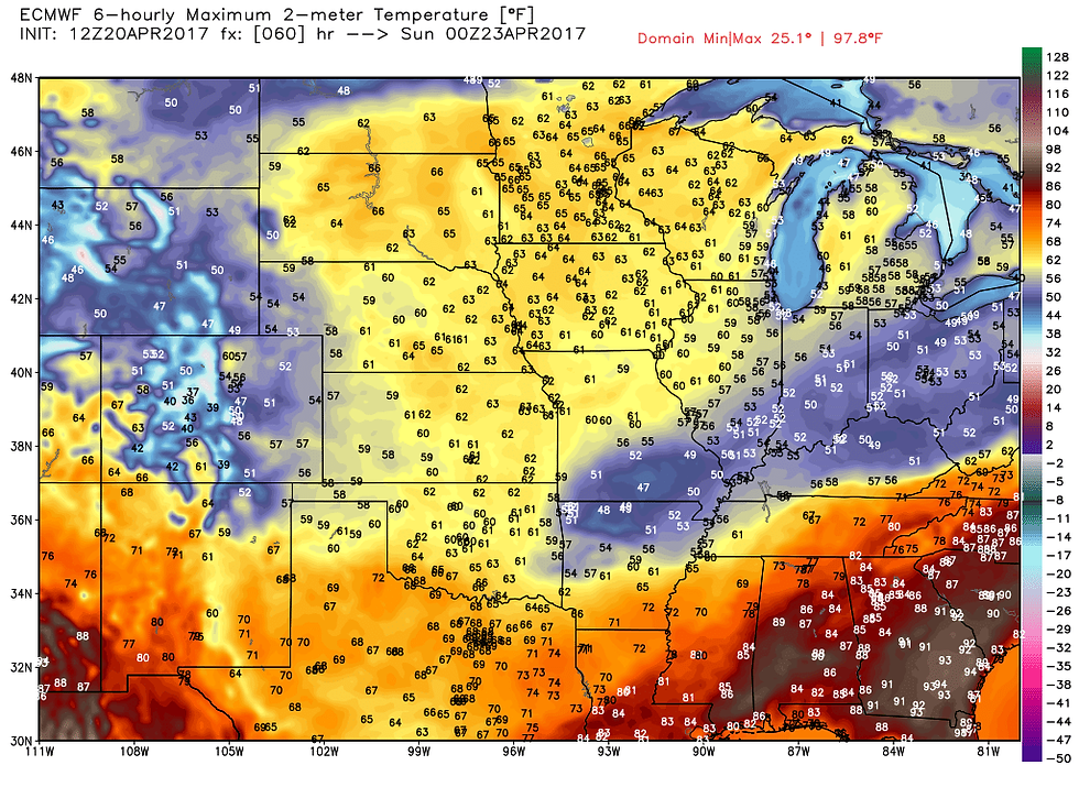
Weatherwise conditions through the weekend and early next week look quiet over the central Midwest. High pressure will be the dominant force in my local area generating plenty of subsidence and sunshine. With northerly winds temperatures start out cool Friday and Saturday and gradually warm as southerly winds are re-established Sunday. Here's what the EURO has for highs all 3 days.


Total precipitation through the weekend on the EURO.

Toward the middle of next week the pattern turns active again as a deep anomalous trough builds over the west and a stout ridge gets pumped up over the east. That puts the Midwest in position for stormy weather as warmth and late season cold converge over the central United States. Here's the 500mb jet stream flow on the EURO ensembles one week from today.

You can watch the evolution of the trough in this animation that runs from April 25th to May 2nd.

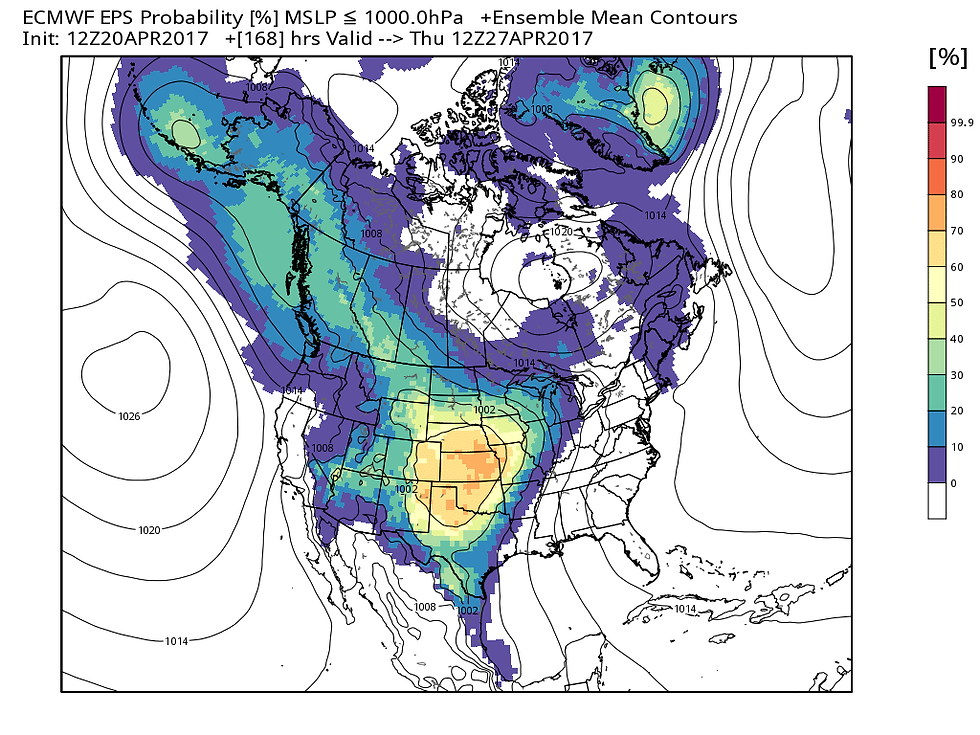
In the graphic below you can see where pressures are expected to be below 1000mb. Broad low pressure exists over the western half of the nation centered on the Plains April 27th.

The temperature departure the pattern creates looks this way.

With waves of low pressure running along the boundary of the contrasting air masses, there is likely to be a large swath of heavy precipitation from Texas to the Great Lakes. Severe weather and convection could be significant, especially in the warm sector from the central and southern Plains into the lower Midwest...probably just south of my local area. Here's the forecast rain totals on the GFS.

Here's a tighter view of my local area.

So, while it appears the long term portion of the forecast is unsettled, the weekend is anything but. Enjoy the pleasantly cool conditions and roll weather...TS


